Introducing Shining 3D's 3-in-1 scanning solution for industrial applications, quality assurance and metrology.
Scankraft Engineering
Planning a specific project?
We review the application, accuracy and budget together with you.
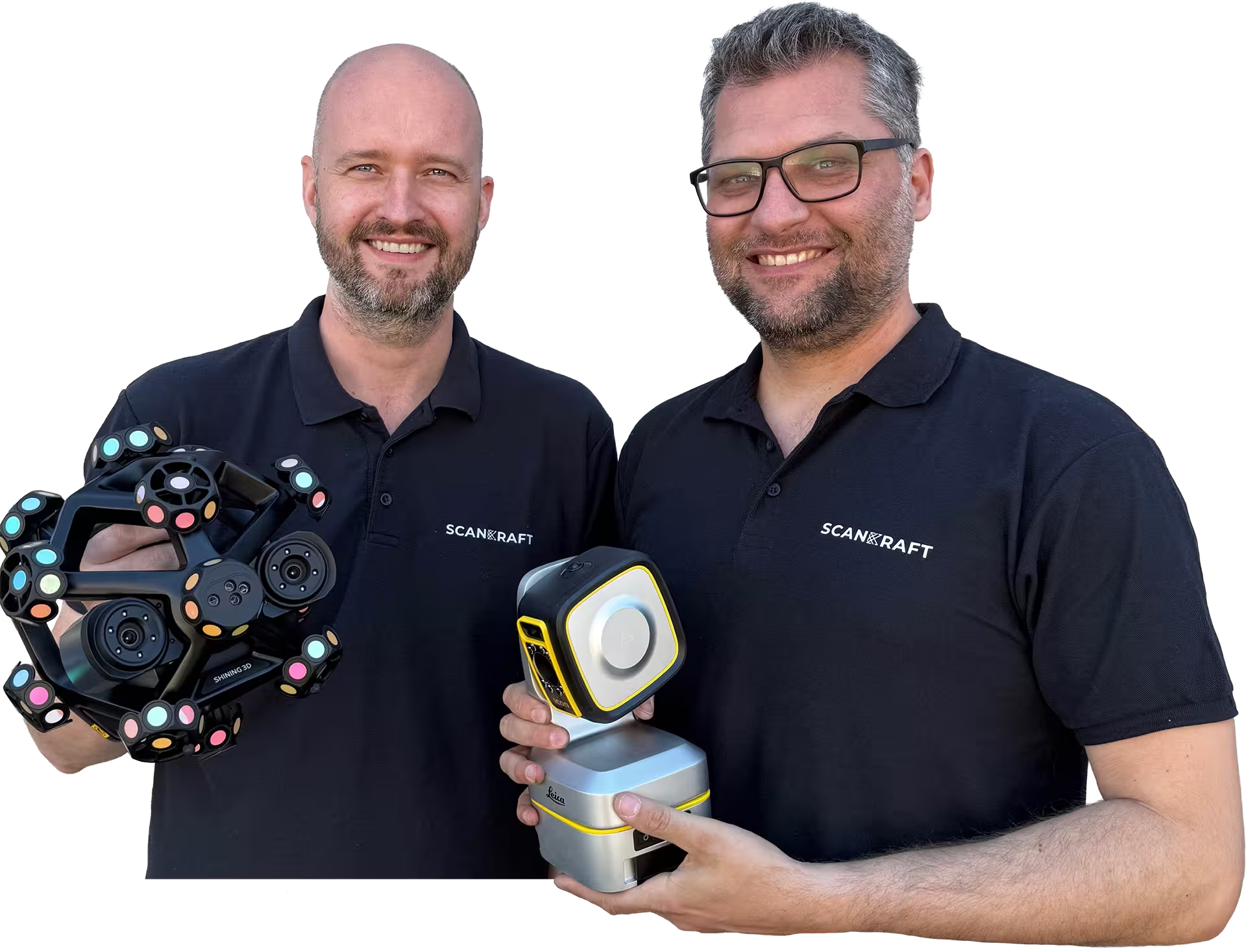
Your contactPhilip FeilhaberTechnical Sales Manager
Lukas PatriTechnology & Services
Trusted by industry and research
Organizations that rely on Scankraft metrology.
Loading
Buy or lease Leica Geosystems BLK ARC | Scankraft
25+ years of metrology experience
Why Scankraft?
We are a team of technicians and engineers and test every scanner ourselves before recommending it. You receive a solution that works in your real workflow.
Personal project consultationWe assess your part, tolerances and process together.Fast support from AustriaDirect access to experienced users.
Workflow library includedLive demo or trial unit available
Leica Geosystems
BLK ARC
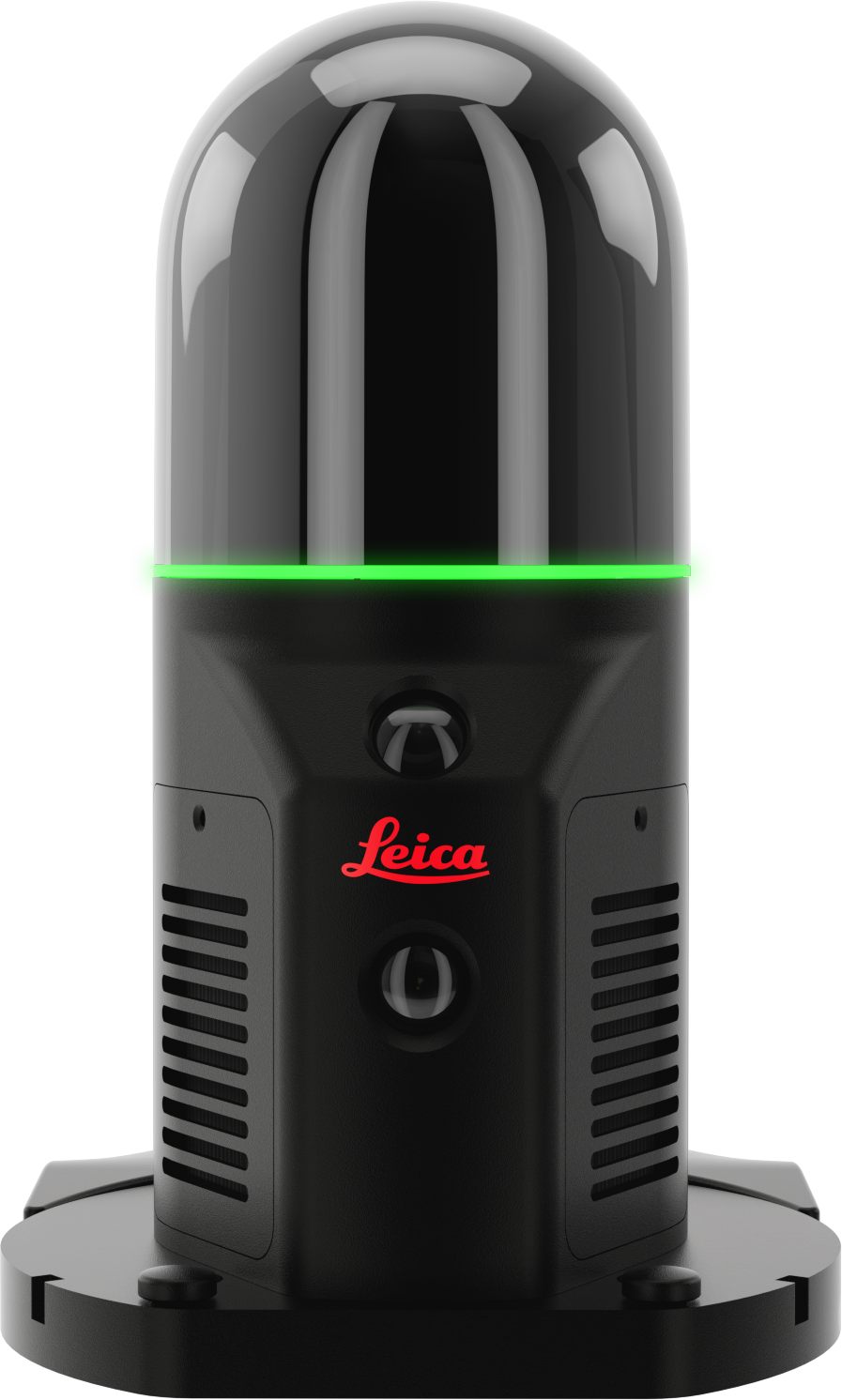
The Leica BLK ARC autonomous laser scanning module enables precise 3D reality capture on robotic platforms via Grand SLAM technology.
LEICA-GEOSYSTEMS-BLK-ARCSKU1VariantshardwareProduct type
01 / 08
Leica Geosystems BLK ARC
The Leica BLK ARC autonomous laser scanning module enables precise 3D reality capture on robotic platforms via Grand SLAM technology.
€40,000.00
excl. VAT · plus shipping
Available at short noticeDelivery date is confirmed after ordering.
Bonus
€670.00 value at no extra cost
Annual SubscriptionIncluded in the packageIncluded€670.00
Is this the right system for your application?We review your application, component and workflow with you.
or
All details
Product information
The Leica BLK ARC is an advanced autonomous laser scanning module engineered by Leica Geosystems for seamless integration with robotic platforms such as the Boston Dynamics Spot or backpack setups. It delivers precise and efficient 3D reality capture with minimal human intervention, revolutionizing data acquisition workflows in architecture, construction, and surveying.
Combining state-of-the-art LiDAR technology with high-resolution imaging and Leica's proprietary Grand SLAM (Simultaneous Localization and Mapping) technology, the BLK ARC enables autonomous navigation and scanning in complex indoor and outdoor environments. This powerful module supports automated mission planning and dispatch through a browser-based interface, significantly enhancing productivity by reducing manual handling and enabling remote operation.
Designed with rugged durability, the BLK ARC features a compact, lightweight aluminum housing and is optimized for fast, high-density point cloud capture, offering exceptional detail and accuracy even in challenging conditions. Its comprehensive sensor suite and robust data handling capabilities make it an indispensable tool for professionals requiring reliable 3D data in operational environments.
Features
Autonomous Operation
Browser-based BLK ARC-UI app allows for remote mission planning, autonomous navigation, and manual control to simplify complex scanning tasks.
High-Resolution Imaging
Equipped with a 12 MP camera and a panoramic vision system (3-camera setup) for integrated RGB data alongside LiDAR scans.
360° LiDAR Scanning
Provides a full horizontal 360° and vertical 270° field of view, capturing up to 420,000 points per second for dense, detailed point clouds.
Robust Design
Lightweight (690 g), housed in black powder-coated aluminum with IP54 rating for dust and humidity protection, suitable for indoor and outdoor use.
High Accuracy and Range
Scans effectively from 0.5 m up to 25 m range, with ±10 mm indoor accuracy and low range noise for reliable measurements.
Technical product details
SKULEICA-GEOSYSTEMS-BLK-ARC
Measurement
Accuracy±10 mm indoor, ±3 mm dynamic noise, ±2 mm static noise (range dependent)
Range0.5 m to 25 m
The Leica BLK ARC is an advanced autonomous laser scanning module engineered by Leica Geosystems for seamless integration with robotic platforms such as the Boston Dynamics Spot or backpack setups. It delivers precise and efficient 3D reality capture with minimal human intervention, revolutionizing data acquisition workflows in architecture, construction, and surveying.
Combining state-of-the-art LiDAR technology with high-resolution imaging and Leica's proprietary Grand SLAM (Simultaneous Localization and Mapping) technology, the BLK ARC enables autonomous navigation and scanning in complex indoor and outdoor environments. This powerful module supports automated mission planning and dispatch through a browser-based interface, significantly enhancing productivity by reducing manual handling and enabling remote operation.
Designed with rugged durability, the BLK ARC features a compact, lightweight aluminum housing and is optimized for fast, high-density point cloud capture, offering exceptional detail and accuracy even in challenging conditions. Its comprehensive sensor suite and robust data handling capabilities make it an indispensable tool for professionals requiring reliable 3D data in operational environments.
Features
Autonomous Operation
Browser-based BLK ARC-UI app allows for remote mission planning, autonomous navigation, and manual control to simplify complex scanning tasks.
High-Resolution Imaging
Equipped with a 12 MP camera and a panoramic vision system (3-camera setup) for integrated RGB data alongside LiDAR scans.
360° LiDAR Scanning
Provides a full horizontal 360° and vertical 270° field of view, capturing up to 420,000 points per second for dense, detailed point clouds.
Robust Design
Lightweight (690 g), housed in black powder-coated aluminum with IP54 rating for dust and humidity protection, suitable for indoor and outdoor use.
High Accuracy and Range
Scans effectively from 0.5 m up to 25 m range, with ±10 mm indoor accuracy and low range noise for reliable measurements.
Technical product details
SKULEICA-GEOSYSTEMS-BLK-ARC
Measurement
Accuracy±10 mm indoor, ±3 mm dynamic noise, ±2 mm static noise (range dependent)
Range0.5 m to 25 m
Fields of application
Where BLK ARC is used
Industries
Applications
Why Scankraft?
We test every scanner ourselves before selling it.
You receive more than a device—you receive a field-tested solution matched to your measurement task.