Introducing Shining 3D's 3-in-1 scanning solution for industrial applications, quality assurance and metrology.
Scankraft Engineering
Planning a specific project?
We review the application, accuracy and budget together with you.
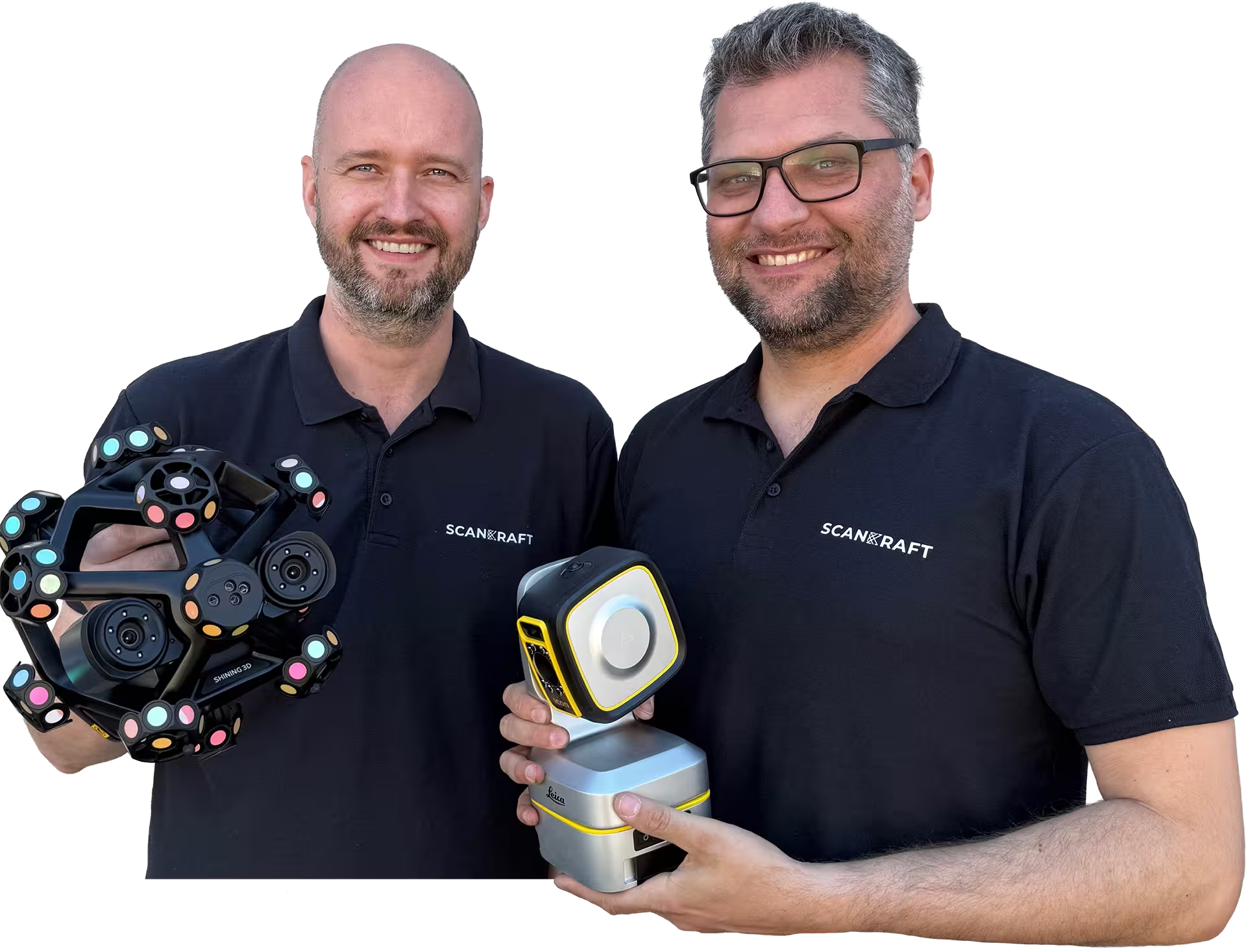
Your contactPhilip FeilhaberTechnical Sales Manager
Lukas PatriTechnology & Services
Trusted by industry and research
Organizations that rely on Scankraft metrology.
Loading
Buy or lease Hi-Target V700S | Scankraft
25+ years of metrology experience
Why Scankraft?
We are a team of technicians and engineers and test every scanner ourselves before recommending it. You receive a solution that works in your real workflow.
Personal project consultationWe assess your part, tolerances and process together.Fast support from AustriaDirect access to experienced users.
Workflow library includedLive demo or trial unit available
Hi-Target
V700S
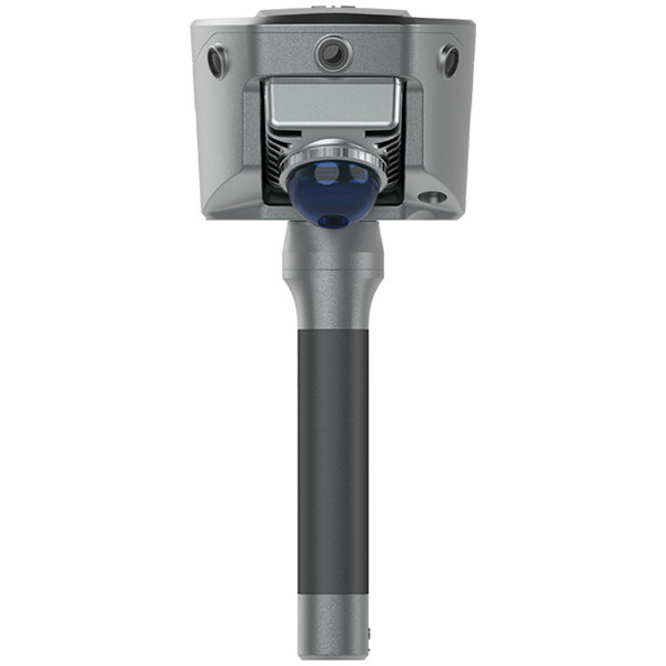
SLAM RTK receiver with 8'' Android tablet Qpad X9, Hi-Survey Road and standard Hi-LiDAR.
HI-TARGET-V700SSKU1VariantshardwareProduct type
01 / 01
Hi-Target V700S
SLAM RTK receiver with 8'' Android tablet Qpad X9, Hi-Survey Road and standard Hi-LiDAR.
€8,600.00
excl. VAT · plus shipping
Available at short noticeDelivery date is confirmed after ordering.
Is this the right system for your application?We review your application, component and workflow with you.
or
All details
Product information
The V700S combines GNSS RTK and SLAM laser scanning in a single instrument. 1,408 channels, a new low-power GNSS SoC and adaptive filtering deliver strong signal reception and centimetre-level outdoor positioning even in difficult conditions.
Laser Reverse Positioning technology automatically switches to laser-based positioning in GNSS-denied areas – under bridges, in culverts or enclosed spaces – so data capture never stops. RTK and SLAM are fused and the point cloud is aligned automatically into a unified coordinate frame (BLH/NEZ), with no control points and no need to revisit scanned areas. A single photo yields multiple point coordinates with better than 5 cm accuracy within 15 m, and volumes are calculated directly in the field. The scanner covers 0.1–40 m at 10 % reflectivity (up to 70 m at 80 %) with a 160° × 59° field of view, Class 1 laser safety and LAS/LAZ/PLY export. Post-processing in Hi-LiDAR delivers sub-2 cm point cloud thickness, better than 1 cm relative precision and automated over/under-excavation analysis for tunnel sections. Supplied with an 8" rugged tablet (Android 10, 6 + 128 GB, 8,200 mAh).
Features
GNSS and SLAM combined
RTK receiver and laser scanner in one device – stakeout and capture without switching instruments.
Keep measuring without GNSS
Laser Reverse Positioning switches automatically to laser-based positioning under bridges, in culverts and indoors.
No control points
RTK and SLAM are fused and the point cloud lands automatically in the coordinate frame (BLH/NEZ).
Coordinates from a photo
Multiple point coordinates from a single image, better than 5 cm at 15 m.
Volumes in the field
Quantities are calculated on site rather than back in the office, with LAS/LAZ/PLY export.
Tunnel analysis included
Hi-LiDAR provides automated over/under-excavation analysis at under 2 cm point cloud thickness.
Technical product details
SKUHI-TARGET-V700S
Measurement
AccuracyRTK H 8 mm + 1 ppm · V 15 mm + 1 ppm · image measurement < 5 cm @ 15 m · tilt 8 mm + 0.3 mm/°
RangeLaser scanner 0.1–40 m @10 % / 0.1–70 m @80 % · FOV 160° × 59°
The V700S combines GNSS RTK and SLAM laser scanning in a single instrument. 1,408 channels, a new low-power GNSS SoC and adaptive filtering deliver strong signal reception and centimetre-level outdoor positioning even in difficult conditions.
Laser Reverse Positioning technology automatically switches to laser-based positioning in GNSS-denied areas – under bridges, in culverts or enclosed spaces – so data capture never stops. RTK and SLAM are fused and the point cloud is aligned automatically into a unified coordinate frame (BLH/NEZ), with no control points and no need to revisit scanned areas. A single photo yields multiple point coordinates with better than 5 cm accuracy within 15 m, and volumes are calculated directly in the field. The scanner covers 0.1–40 m at 10 % reflectivity (up to 70 m at 80 %) with a 160° × 59° field of view, Class 1 laser safety and LAS/LAZ/PLY export. Post-processing in Hi-LiDAR delivers sub-2 cm point cloud thickness, better than 1 cm relative precision and automated over/under-excavation analysis for tunnel sections. Supplied with an 8" rugged tablet (Android 10, 6 + 128 GB, 8,200 mAh).
Features
GNSS and SLAM combined
RTK receiver and laser scanner in one device – stakeout and capture without switching instruments.
Keep measuring without GNSS
Laser Reverse Positioning switches automatically to laser-based positioning under bridges, in culverts and indoors.
No control points
RTK and SLAM are fused and the point cloud lands automatically in the coordinate frame (BLH/NEZ).
Coordinates from a photo
Multiple point coordinates from a single image, better than 5 cm at 15 m.
Volumes in the field
Quantities are calculated on site rather than back in the office, with LAS/LAZ/PLY export.
Tunnel analysis included
Hi-LiDAR provides automated over/under-excavation analysis at under 2 cm point cloud thickness.
Technical product details
SKUHI-TARGET-V700S
Measurement
AccuracyRTK H 8 mm + 1 ppm · V 15 mm + 1 ppm · image measurement < 5 cm @ 15 m · tilt 8 mm + 0.3 mm/°
RangeLaser scanner 0.1–40 m @10 % / 0.1–70 m @80 % · FOV 160° × 59°
Why Scankraft?
We test every scanner ourselves before selling it.
You receive more than a device—you receive a field-tested solution matched to your measurement task.