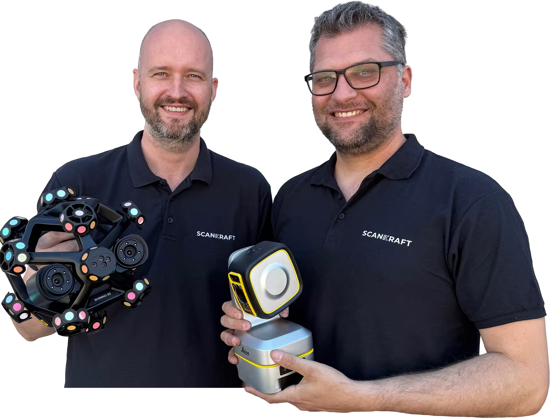
Introducing Shining 3D's 3-in-1 scanning solution for industrial applications, quality assurance and metrology.
Scankraft Engineering
Planning a specific project?
We review the application, accuracy and budget together with you.
Your contactPhilip FeilhaberTechnical Sales Manager
Lukas PatriTechnology & Services
Trusted by industry and research
Organizations that rely on Scankraft metrology.
Loading
Buy or lease Hi-Target SP10 PRO | Scankraft
25+ years of metrology experience
Why Scankraft?
We are a team of technicians and engineers and test every scanner ourselves before recommending it. You receive a solution that works in your real workflow.
Personal project consultationWe assess your part, tolerances and process together.Fast support from AustriaDirect access to experienced users.
Workflow library includedLive demo or trial unit available
Hi-Target
SP10 PRO
Pole control system (with IMU, radio and GNSS antenna), with 8'' Android tablet Qpad X9 and Hi-Survey Road software.
HI-TARGET-SP10-PROSKU1VariantshardwareProduct type
Produktbild folgt
01 / 01
Hi-Target SP10 PRO
Pole control system (with IMU, radio and GNSS antenna), with 8'' Android tablet Qpad X9 and Hi-Survey Road software.
€3,440.00
excl. VAT · plus shipping
Available at short noticeDelivery date is confirmed after ordering.
Secure paymentShips from AustriaPersonal support
All details
Product information
The SP10 PRO pole control system turns a robotic total station into a genuine one-person setup: IMU, radio and GNSS antenna sit directly on the pole so the instrument is fully controlled from 600 m away and beyond.
Combining GNSS with optical measurement removes the need for control points; the system switches automatically between optical and GNSS positioning and keeps delivering coordinates even when the line of sight is broken. Optical tilt compensation (3 mm + 0.6 mm/°, 0–60°) keeps measurements reliable on uneven ground. RTK accuracy is H 8 mm + 1 ppm / V 15 mm + 1 ppm. The communication box (102 × 95 × 128 mm, 406 g, Linux, Bluetooth, 2.4 GHz Wi-Fi, 900–920 MHz radio) operates from -25 °C to +65 °C for at least 10 hours. Supplied with the 8" Qpad X9 Android tablet and Hi-Survey Road.
Features
Total station from the pole
IMU, radio and GNSS antenna sit on the pole – the instrument is fully controlled from 600 m and beyond.
Work without control points
Combining GNSS with optical measurement removes the need to set control points.
Automatic mode switching
When the line of sight breaks, the system switches between optical and GNSS positioning by itself.
Reliable on rough ground
Optical tilt compensation of 3 mm + 0.6 mm/° across 0–60°.
A full working day
406 g communication box, -25 °C to +65 °C, and at least 10 hours of runtime.
Complete with field software
Includes the 8" Qpad X9 Android tablet and Hi-Survey Road.
Technical product details
SKUHI-TARGET-SP10-PRO
Measurement
AccuracyRTK H 8 mm + 1 ppm · V 15 mm + 1 ppm · optical tilt 3 mm + 0.6 mm/° · RTK tilt ±3 cm (≤30°)
RangeTotal station control from 600 m · radio 900–920 MHz · ≥10 h operation
The SP10 PRO pole control system turns a robotic total station into a genuine one-person setup: IMU, radio and GNSS antenna sit directly on the pole so the instrument is fully controlled from 600 m away and beyond.
Combining GNSS with optical measurement removes the need for control points; the system switches automatically between optical and GNSS positioning and keeps delivering coordinates even when the line of sight is broken. Optical tilt compensation (3 mm + 0.6 mm/°, 0–60°) keeps measurements reliable on uneven ground. RTK accuracy is H 8 mm + 1 ppm / V 15 mm + 1 ppm. The communication box (102 × 95 × 128 mm, 406 g, Linux, Bluetooth, 2.4 GHz Wi-Fi, 900–920 MHz radio) operates from -25 °C to +65 °C for at least 10 hours. Supplied with the 8" Qpad X9 Android tablet and Hi-Survey Road.
Features
Total station from the pole
IMU, radio and GNSS antenna sit on the pole – the instrument is fully controlled from 600 m and beyond.
Work without control points
Combining GNSS with optical measurement removes the need to set control points.
Automatic mode switching
When the line of sight breaks, the system switches between optical and GNSS positioning by itself.
Reliable on rough ground
Optical tilt compensation of 3 mm + 0.6 mm/° across 0–60°.
A full working day
406 g communication box, -25 °C to +65 °C, and at least 10 hours of runtime.
Complete with field software
Includes the 8" Qpad X9 Android tablet and Hi-Survey Road.
Technical product details
SKUHI-TARGET-SP10-PRO
Measurement
AccuracyRTK H 8 mm + 1 ppm · V 15 mm + 1 ppm · optical tilt 3 mm + 0.6 mm/° · RTK tilt ±3 cm (≤30°)
RangeTotal station control from 600 m · radio 900–920 MHz · ≥10 h operation
Why Scankraft?
We test every scanner ourselves before selling it.
You receive more than a device—you receive a field-tested solution matched to your measurement task.